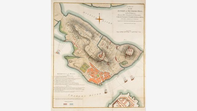
Description
Welcome to Collecting for the Boston Athenaeum in the 21st Century: Maps, Charts, and Plans, curated by John Lannon. This show is the third in a series of four exhibitions showcasing materials that the Boston Athenaeum has acquired since the year 2000. We invite you to return for the next and final exhibition in the series, opening in April 2016, which will feature prints and photographs.
The Athenaeum has collected maps and charts since its earliest days and continues to build its collection for use by members, researchers, and the public. This exhibition features maps, charts, and plans that represent the strengths of the Athenaeum's rich cartographic collection, including the land and water of New England, and European exploration of North America, as well as world maps from European mapmakers, and celestial charts.